


|
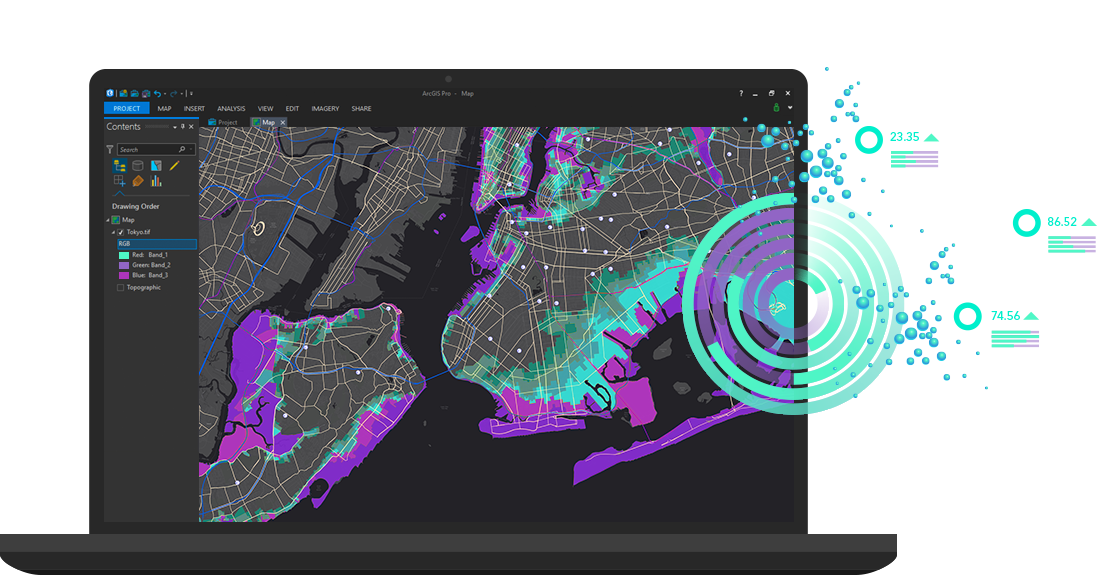
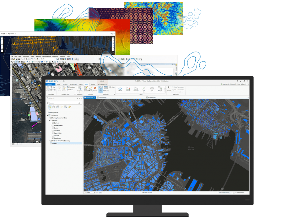
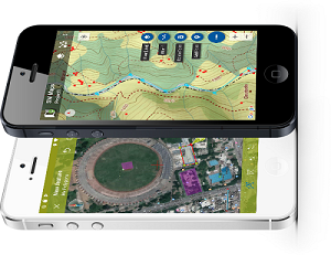
Software GIS A geographical information system or GIS is an information system designed to collect, store, process, analyze, manage and present all types of spatial and geographical data. It is an entrepreneurial management system that allows any organization (company or community) to manage its business space. In a GIS, each object is allocated a sheet containing alphanumeric information, i.e. to store information that describes the objects (name, address, descriptive, historical, current, etc.), the content of these sheets depending on the needs of your activity. ...read more ... |
|
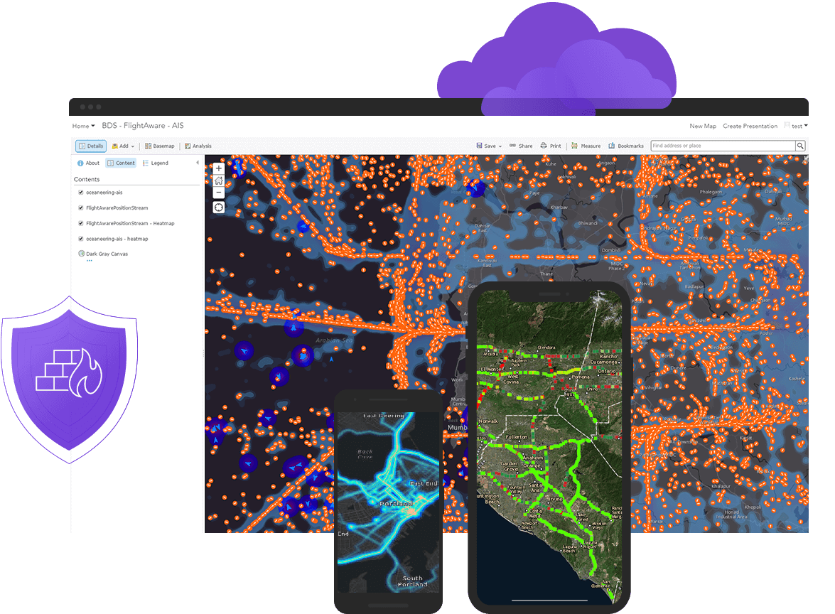
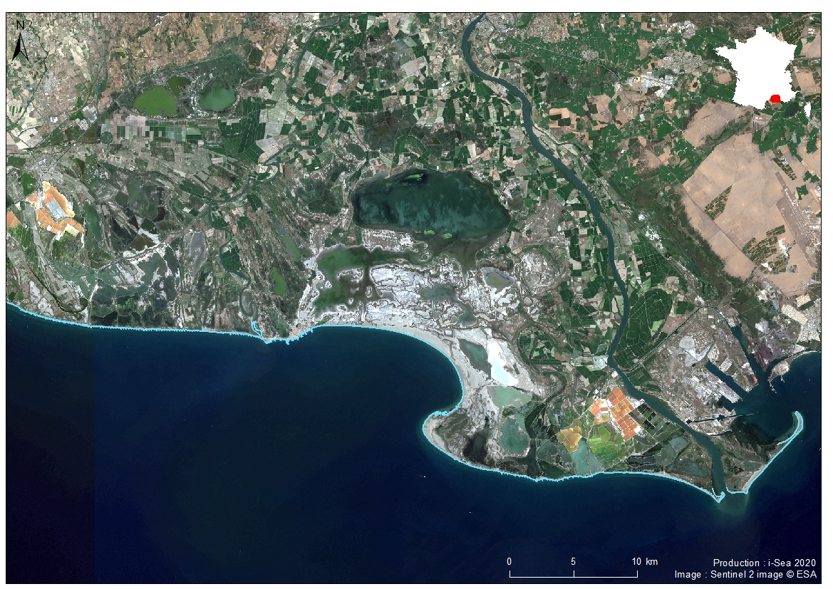
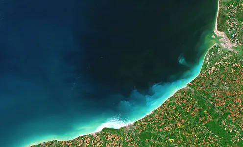
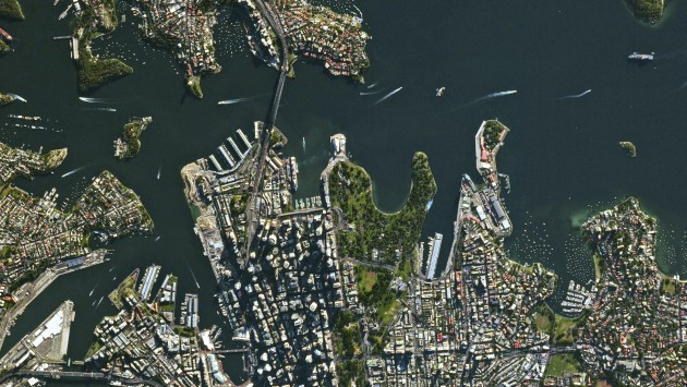
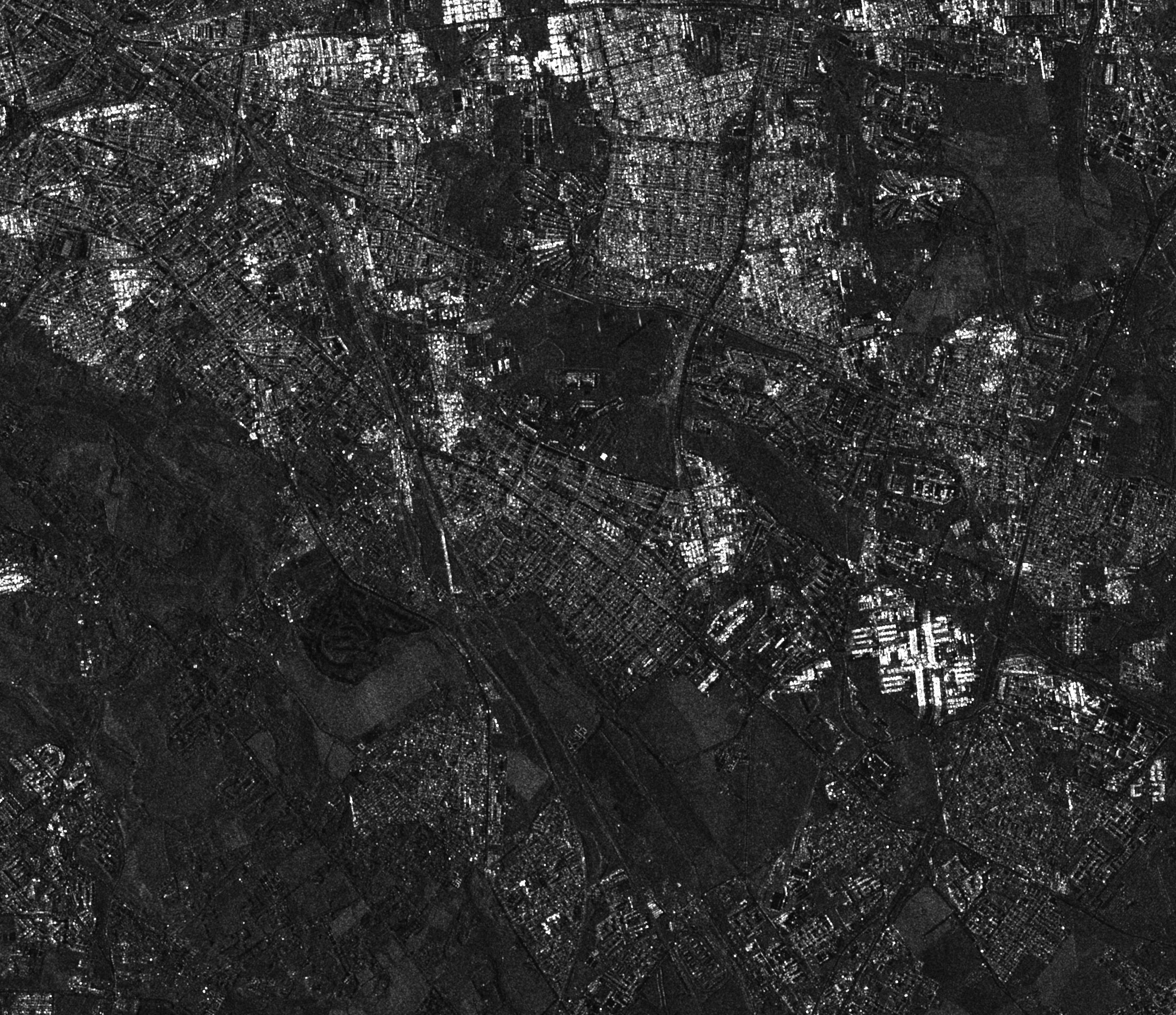
Satellite Images Satellite imagery is a fully-fledged geographical data. Its uses are numerous. The development of new satellite imagery technologies the increase in the number of Earth observation satellites in operation provides increasingly accessible and useful products in areas of activity such as land-use change detection, precision farming, emergency response, social research, and many other areas of application. ...read more... |
|
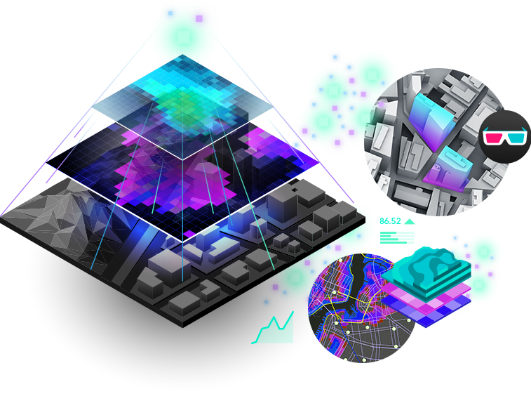
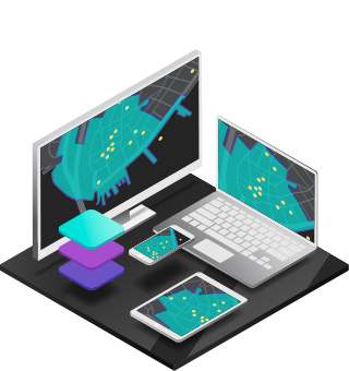
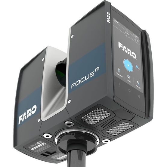
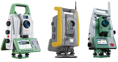
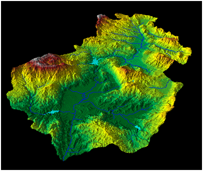
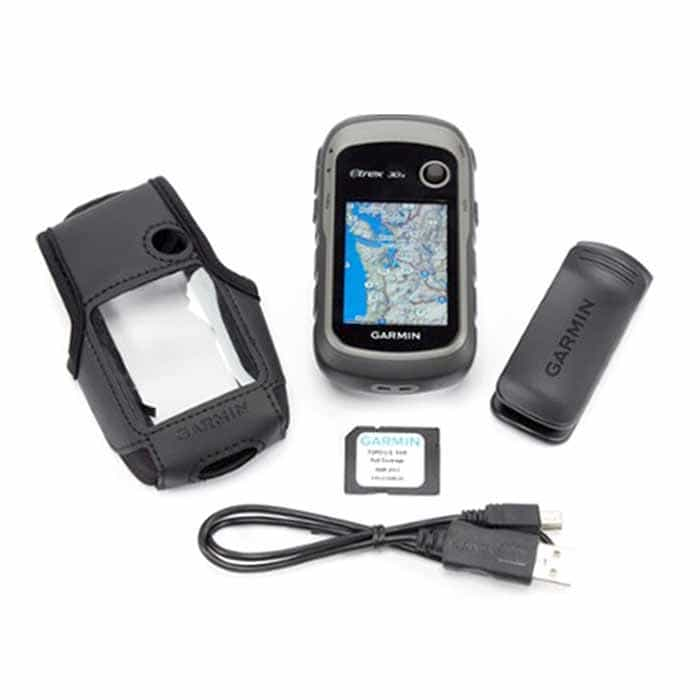
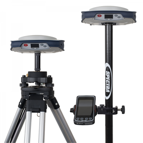
GIS equipment GIS solutions help to represent the spatial data of a GPS or other remote sensing device in very understandable visual formats, often as layers of data on topographic maps or satellite images. GIS now operates on a very wide range of computers from data servers to networked or self-used desktop computers. ...read more ... |